Tuesday, August 30, 2011

Crater Lake National Park, Oregon

Crater Lake National Park, Oregon – August 30


Crater Lake started life as Mt Mazama. Successive volcanic eruptions over many thousands of years had built a mountain top that was perhaps a mile above the current level. Like Mt Rainier and Mt St Helens, it was one of the major volcanoes of the Cascade Range. Mt Mazama was one of the more explosive volcanoes. About 8000 years ago there was a series of violent eruptions that transformed Mt Mazama. It ejected large volumes of rock and ash high into the air, then great avalanches of hot gas-charged rocks spilled down the slopes. Finally the remaining upper portions of the volcano collapsed, creating the 6 mile wide caldera that now holds Crater Lake.

The deep hole left by the eruptions filled with water from precipitation over several hundred years. There are no streams or rivers flowing into the lake. The water level in the lake is determined only by lake water evaporation and precipitation from rain and snow, so water level fluctuates from year to year depending on the weather patterns. The lake gets an average of over 500 inches of snow each winter, making Crater Lake one of the snowiest areas in the Northwest US.  The lake has an average water depth of about 1150 ft, with a maximum measured depth of 1949 feet, making it the deepest lake in the United States. Being so deep and clear, the water appears as a very deep blue color.

Because there are no inflowing tributaries, and there has been no recent strong hydrothermal or volcanic activity, the clarity of the water is excellent, with the ability to see light colored objects 100-115 ft deep in the water.

There are no indigenous fish in the lake, but the lake was stocked with a large variety of fish species from the late 1800s to mid 1900s. Although the water is alkaline and lacks significant mineral content, several of these species have formed populations that have thus far been able to sustain themselves, primarily landlocked salmon and rainbow trout.
Sorry, no fish pictures….

The caldera rim ranges between about 6500 to about 8000 ft above sea level.

There has been some volcanic activity since the initial caldera creation, and this more recent activity has created a large island in the lake called Wizard Island.

One of the mountains original cones – Phantom Cone – has left another island in the lake, named Phantom Ship. Although it looks quite small in the picture, it is as high as a 14 story building, reaching 160 Feet above lake level.

I found a snow bunny playing in this considerable snow bank, still here on August 30th, just a few days before Labor Day.
She turned out to be hostile, throwing snowballs at me, so I moved on around the lake loop road.

On the eastern wall of the crater there is a rusty looking spot, different from the rest of the terrain.
Using a telephoto lens to get a larger image, you see what is shown below.
This formation is called the Pumice Castle, an outcropping of fragmental pumice rock turrets forming a strange looking sight compared to the rest of the Caldera walls.

We noticed a tree with lots of birds sitting on the branches.

Closer examination revealed not birds, but pinecones.

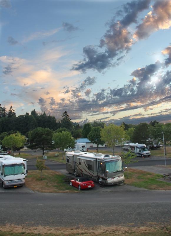
We originally debated whether to drive the Motorcoach with Toad in tow around the 33 mile loop road around Crater Lake rim. After discussions with other RVers we decided not to drive the coach, but to take the S2000, and after driving it and seeing roads like the one shown below, I’m glad we took the sports car.
I’m afraid if you were inattentive for a second and got the front wheel of a Motorcoach over the edge of this part of the road, and you might not fare too well.  There were several drop-offs like this and not a guardrail in sight.

Well, that’s life in the fast lane, even though the speed limit was 35 MPH throughout most of the park.

Saturday, August 27, 2011

Oregon Coast, Dunes National Park


Oregon Coast, Dunes National Park and Dunes State Recreation Area – August 25-27


The drive down the Oregon coast from the Columbia River is really spectacular if you have never driven it before. Often very hazy, but on a sunny day the Pacific is brilliant blue and the Sea Stacks (rocks sticking up out of the water) are certainly not what Floridians are used to seeing.

Speaking of stacked stacks… Here she is with the stacks in the background.

Beautiful scenery, even with the 'marine layer' (That's what they call fog out there).

Further down the coastline there were people walking on the beach, so I walked up to the cliff edge to see how they got down there.  I found this quite steep treacherous looking path down the cliff. It doesn’t look nearly as steep or as high as it was looking down into the abyss.

I finally got to an area where you could pull into a parking lot and go into the ocean for a dip. Here is a sign posted there for your enjoyment.
Sneaker waves...   Drift logs...???
YIKES !!  Did you notice this part of the sign ???
Don’t see many of these signs in Florida…  of course we don't have much higher ground either.

We crossed over a bridge at Cape Creek and this lighthouse is out there warning passing ships of the rock danger.

You can tell as you go south in Oregon that you are coming to the Sand Dune National Park area as you see the dunes creeping up higher and higher on the beach.

And they just go on for miles.

Sylvia had to put on a jacket due to the cold wind blasting across the dunes.


Naturally there is a really big beach on the other side of the really big dunes. On the beach there were windsurfers, fishermen, shell hunters, walkers and just lookers.

The wind was really blowing sand around everything, burying driftwood and covering your tracks in just a few minutes, but the wind-surfers loved it. I assume these were some of the 'drift logs' referred to in the sign. 


The dunes are still growing and moving. Here it is encroaching on the road.


Further down the road in Oregon Dunes Recreation Area there are big dunes where there are lots of ATVers and motorcyclists going as fast as they can up and down and all around the dunes.

I’m impressed. The one above shows an uphill wheelie on the ATV…

                                                                             Air time...

You’re kidding. They certainly are NOT going to ……
Oh, yes they are…..

Wish I could have stayed around for the spectacle, but we needed to leave.

Wednesday, August 24, 2011

Columbia River Gorge – Washington/Oregon

Columbia River Gorge – Washington/Oregon – August 24

The Columbia River runs between the borders of Washington State and Oregon, and the Columbia River Gorge is a really scenic area to drive along, especially in a convertible sports car. Off we go…

We had been to the Columbia River Gorge on a previous trip when we drove in from the Pacific coast about 75-100 miles, but didn’t have the time required for a trip all the way down to The Dalles, so that was our goal for this day trip.

We had driven the Oregon side previously, and decided to try the Washington side so we could get the view to the south. This was not a smart decision since the view was almost non-existant. Mostly all we saw was treesbetween the road and the river. So after about 30 or so miles when we came to a bridge named "Bridge of the Gods' and crossed the Columbia at Cascade Locks, to stay on the Oregon side for the rest of the drive.

Before crossing over to Oregon we came to Bonneville Locks and Dam, and spent a while there checking it out.
Again as in most of the Pacific flowing rivers, special consideration must be made for the returning spawning salmon.  On the left side of this and the following picture is the fish run that will give the salmon a route to go back upstream where they were born to spawn and give life to the future generations that will return to this area to continue the species.

At the Oregon side of the 'Bridge of the Gods' at Cascade Locks we discovered a local fish outlet where mostly Native American women were selling freshly caught and smoked salmon, and fruits and berries. 
We bought one of the smaller salmon and got about 4-5 meals from it. The smoked fish was also delicious.

We made our way to The Dalles with only a few stops, planning to have better light for the return trip.

Here is a shot of Sylvia taking a picture back in my direction.

This is a picture of the hillside that was behind me.

The scenery of the Gorge is really spectacular from these cliffs.

Steamboats and Barges still work the river.

Back to the RV Park and another beautiful sunset.

Here is another sunset shot with the RV Park mailboxes in the foreground.

Worn out after another hard day of driving around taking pictures…. Now for a salmon dinner and some rest.